Explanatory Note
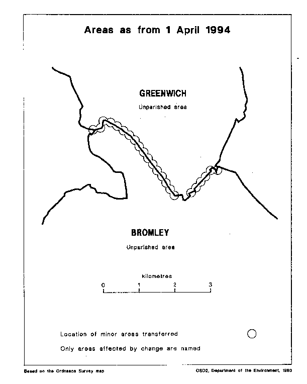
This Order makes changes, most of which are minor realignments, to the boundary between the London boroughs of Bromley and Greenwich. The map and table forming part of this note (Pages 3 and 4) give a general guide to the areas affected and the changes made. In approximate terms, the land transferred from Bromley to Greenwich has an area of 5 hectares and is unpopulated, and that transferred from Greenwich to Bromley an area of 10 hectares and a population of 200.
For full details of the transfers made, the order maps (described in article 2) should be inspected. Any person may inspect them at any reasonable time at the offices of the council for each London borough affected, and also at the offices of the Secretary of State for the Environment located in 2, Marsham Street, London SW1P 3EB.
Consequential changes are made to petty sessional divisions and coroners' districts. The Local Government Area Changes Regulations 1976 (S.I. 1976/246, amended by S.I. 1978/247) contain general provisions regarding the effect of orders such as this one.
TABLE OF CHANGES MADE
Transfer to Bromleyof area, realigning boundary to follow the centre of Hillview Road, and the rear curtilages of properties on Brownspring Drive and on Molescroft (south of Stonefield). Parts of the following are included in the transfer—Edgebury, Slades Drive, Gravelwood Close, Molescroft.
Minor Realignments—
1. To the centre of Mottingham Lane, in the vicinity of its junctions with Winn Road and Alnwick Road.
2. South of Sidcup Road, so that the boundary follows the stream near King John’s Walk, and the rear curtilages of properties on West Hallowes.
3. Between West Park and Court Road, so that the boundary follows the rear curtilages of properties on Mottingham Road.
4. To the centre of Mottingham Road/White Horse Hill, running from the junction with Court Road in a south-easterly direction past the junctions with Chapel Farm Road and William Barefoot Drive to the vicinity of Beanshaw and Hever Croft.
Based on the Ordnance Survey mapOSD2, Department of the Environment, 1993