Explanatory Note
(This note is not part of the Order)
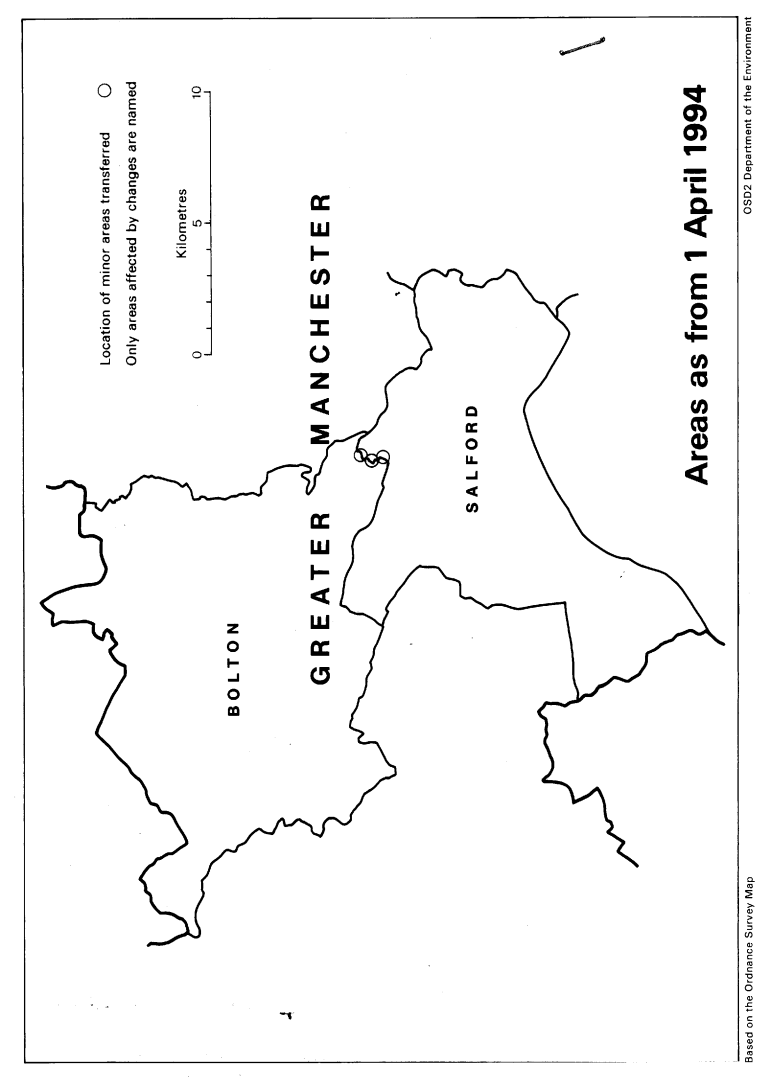
This Order transfers small areas between the metropolitan borough of Bolton and the city of Salford (both in the metropolitan county of Greater Manchester).
Consequential changes are made to city and borough wards, and to the boundaries of petty sessional divisions.
All changes take place on, or in the vicinity of the Clifton Housing Estate, starting at the River Irwell in the north, and terminating south of Cedar Drive in the south.
The main streets affected areWestbourne Avenue Lawefield Crescent Belmont AvenueManchester Road Cedar Drive The map forming part of this note (page 3) gives a general guide to the changes made. Prints of the detailed order map (described in article 2) may be inspected at all reasonable times at the offices of the council for the city and for the metropolitan borough affected, and also at the offices of the Secretary of State for the Environment located in 2, Marsham Street, London SW1P 3EB.
In approximate terms, the land transferred from Bolton to Salford has an total area of 2 hectares, and a population of 137, and that transferred from Salford to Bolton a total area of 0.25 hectares, being unpopulated.
The Local Government Area Changes Regulations 1976 (S. I. 1976/246, amended by S. I. 1978/247) contain general provisions regarding the effect of orders such as this one.