THE SECOND SCHEDULE TO THE SCHEME
1. Length of Watercourse to be temporarily diverted
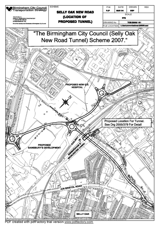
The length of watercourse to be temporarily diverted is the Worcester and Birmingham Canal between point “A”, 575m north of where the A38 Bristol Road crosses the Birmingham and Worcester canal and point “B”, 426m north of where the A38 Bristol Road crosses the Birmingham and Worcester canal as marked on the attached plan numbered 2555—379. This length is shown hatched and is marked “Length of Watercourse to be Temporary Diverted”.
2. Diversion of Watercourse
During construction of the Selly Oak New Road Tunnel the watercourse will be diverted (the Diversion) to the points referred to in Article 1 above. The diversion is shown on the attached plan numbered 2555—379. The minimum width of the watercourse for the Diversion shall be 3.0 metres and its minimum depth shall be 1.6 metres throughout its entire length.
3. Length of Towing path to be divertedThe length of towing path to be temporarily diverted during the construction of the tunnel is a length adjacent to and on the west side of the length of watercourse described in Article 1 above. It extends from point “C”, 593m north of where the A38 Bristol Road crosses the Birmingham and Worcester canal, to point “D”, 408m north of where the A38 Bristol Road crosses the Birmingham and Worcester canal as marked on the attached plan numbered 2555—379 and is shown by black zebra hatching. The towpath will be diverted to the west side of the watercourse shown in outline and marked “Temporary Towpath Diversion” on the attached plan numbered 2555—379.